Success Case
Virtual firefighter with 5G technology
Spain
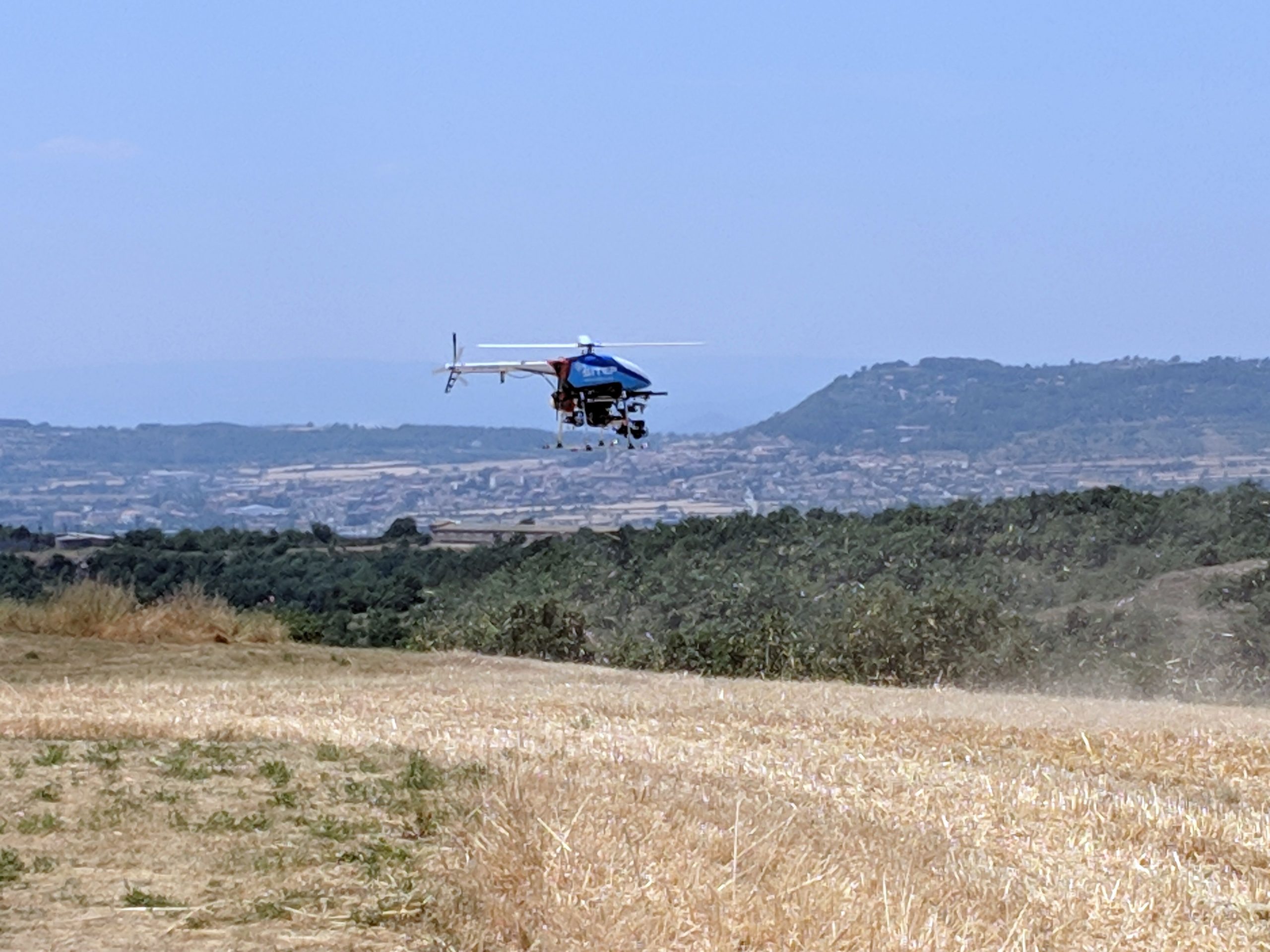
Pilot project that, taking advantage of 5G technology and the use of a last-generation drone equipped with thermographic cameras, holds the prospect of becoming a real virtual asset to security and emergency forces.
The initiative includes essential elements in geolocation, including an innovative ultra-narrowband system (SigFox) that accurately geolocates the crews deployed on-site (firefighters, police, vehicles…) to optimize and remotely coordinate resources, and a sophisticated “heat map” that allows to manage in real time the different stages of the fire.
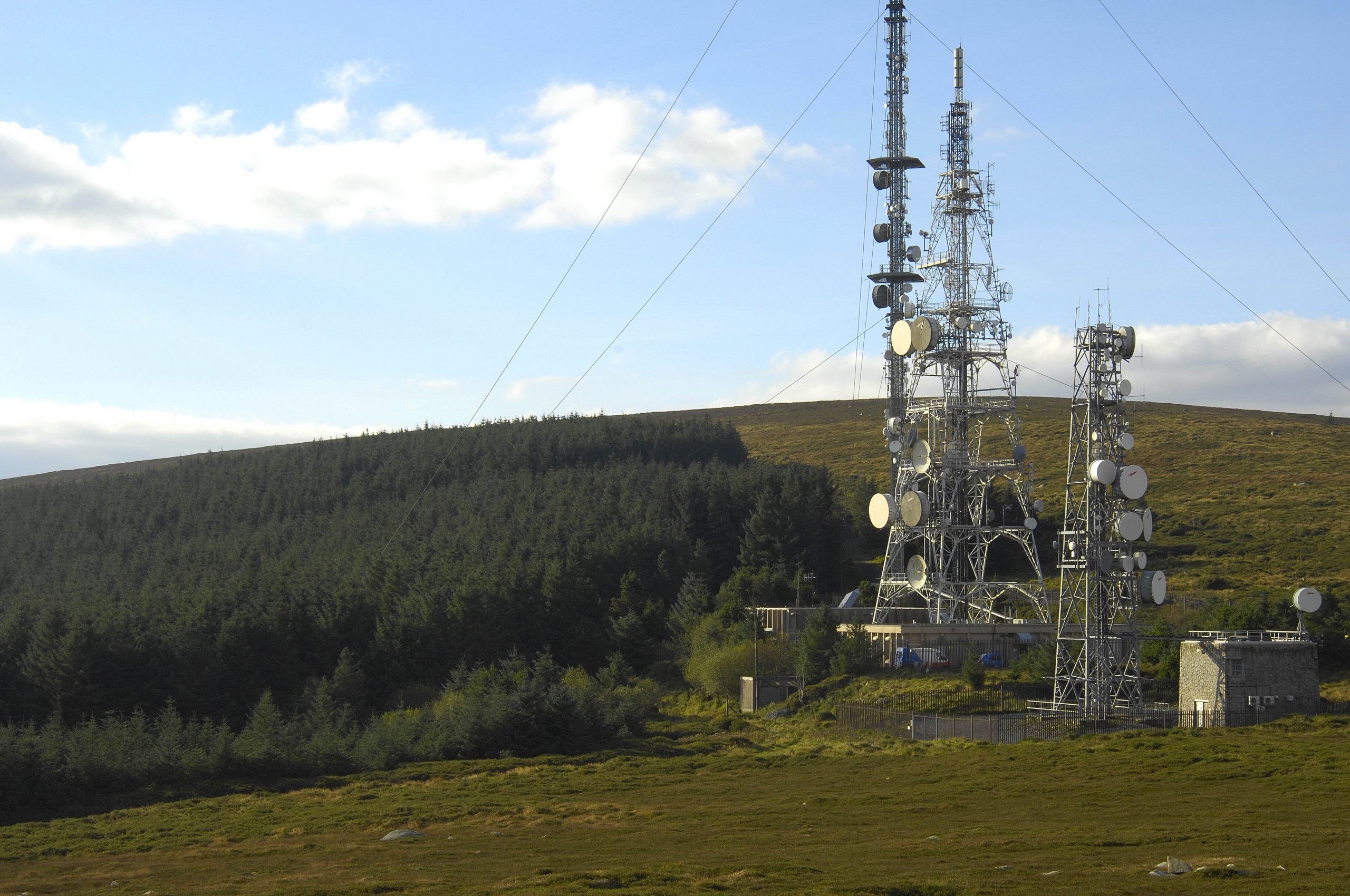
Through the Internet of Things network, which is optimal and very secure to broadcast short messages (as for instance object positioning), data such as the position and movement of the crews deployed in the area can be sent to the nearest control station thanks to a small broadcasting device, basically composed of a GPS and a long-lasting battery. This technology, combined with the exact geolocation of the fire, the heat maps or the nearby populated areas, ensures a more swiftly management of resources.
Challenges
- Spain is one of the countries in the world most affected by forest fires, a problem that, far from diminishing, threatens to become more intense as a result of the effects of climate change.
Solution
- New technologies and the deployment of large capacity networks allow to test solutions that can decisively contribute to contain this colossal problem.
- The operation manager should be able to monitor in an easy and intuitive way the whereabouts of the ground team and the location of the highest temperature zones to make the best decisions in the shortest possible time.


